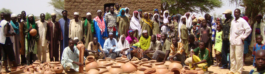
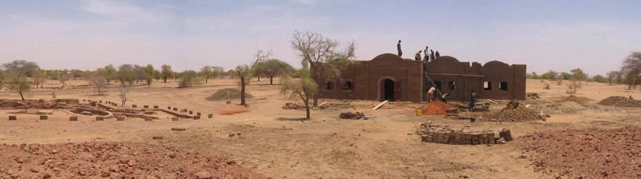
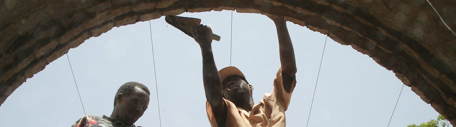
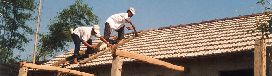
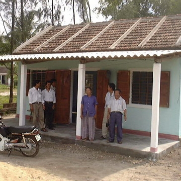
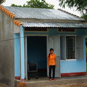
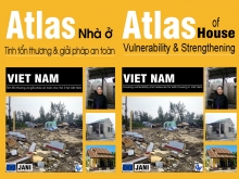
The publication of the “Atlas of housing vulnerability & measures for safe housing in Vietnam” comes at a time when the National Strategy for natural disaster prevention, response and mitigation has called for the review and complement of building codes and construction plans in line with natural disaster characteristics in each region of Vietnam. The Atlas contributes to this national objective.
The Atlas goes further in its objectives, linking:
the regional natural disaster characteristics
to
thecharacteristics of local common contemporary housing in each region.
As part of the World Bank - Building Urban Resilience project in East Asia, DW will be carrying out a surevy of flood risk perceptions in Can Tho City, southern Vietnam.
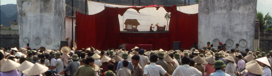
Can Tho City is the economic capital of the Mekong Delta and the 5th city in Viet Nam, located on the one of the main branches of the Mekong River. It is subject to frequent flooding. The city is located at the confluence of the tidal part of the river and the down-river flow (Total area 1 400 km²).
With around 1 200 000 inhabitants, and a rapid urbanisation, the common perception of hazards is one of an increasing